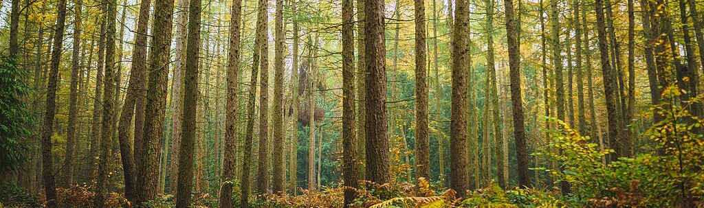
Who needs field data when we have satellites!
While waiting for our Colombian field crews to finish their work in the jungle, we would like to highlight why field measurement campaigns are so important. Nowadays, with the increasing need for information on forest biomass to meet compliance and voluntary reporting requirements, many people look into satellite data as the saviour. This is fine, but we should not get carried away with unrealistic expectations. It is true that satellite data can provide frequent up-to-date information on the status of forests. However, using only satellite data for forest monitoring may in the worst case even lead to wrong conclusions. Field measurements will always be needed to support satellite-based monitoring. Here are two good reasons why:
Training and calibration
Satellite data-based methods to predict forest variables (such as biomass), can be coarsely grouped into two types of approaches: empirical methods and physical methods. The empirical methods utilize correlations between remotely sensed variables (such as spectral values or radar backscatter) and the target variables (such as forest biomass). Physical methods, on the other hand, aim to deduce target variable values (such as forest height) directly from the remotely sensed signal basing on physical models.
Regardless of which type of methods are used, field reference data has a crucial role in the training and/or calibration of the methods. Representative reference data is the basis for all forest prediction model development. This is the reason why we use reference information derived from field plot measurements in all of our use case demonstrations in the FCM project. With methods like kNN, the entire prediction relies on the representative reference data, while methods like the BIOMASAR mainly require wider area forest statistics for calibration. Either way, we could not develop credible tools for forest biomass and carbon monitoring without extensive reference datasets based on field measurements.
Uncertainty assessment
Another equally important aspect is the evaluation and reporting of the uncertainty of the predictions. The more satellite data-based products are used in reporting for regulatory or financial schemes, the more crucial it becomes to report the uncertainty of the products. Required uncertainty estimates and confidence intervals can only be derived with independent reference data, which is most typically based on field measurements. Without accompanying information on the uncertainty of the outputs, satellite-based predictions have little use for any kind of compliance or voluntary biomass and carbon reporting.
This is the reason why one of the main objectives for the FCM project continuation is to further develop the statistical approaches for assessing uncertainty of the output products. All satellite-based products should be accompanied with uncertainty information that allows users to calculate confidence intervals for their interest area. Way or the other, field measurements are always needed in this process.
More for less
So, what is the point of using satellite data if field measurements need to be conducted anyway? Great benefits from satellite data can be achieved even in areas with extensive field sampling-based forest monitoring schemes (such as the National Forest Inventories). In Finland, satellite imagery has been used for over 15 years as part of the Multi-Source NFI to enable derivation of forest variable estimates for smaller areas than the field plot measurements alone would allow. In the FCM project, we will demonstrate a similar use case in the Norwegian region of Trøndelag using model-assisted estimation that combines satellite and field data. This approach provides higher accuracy of forest estimates for a given area, and vice versa, allows reaching a required accuracy level with less field plots for a given area.
Another use case highlighting the strengths of satellite-based forest monitoring are those areas where no field reference data are yet available. Here satellite data can help to reduce the amount of field measurements that are needed for a reliable estimation of forest resources. In the FCM project, the Colombian use case is a perfect example of such a case. Satellite data, with auxiliary datasets, are used to stratify the project area and thereby make the field sampling more efficient.
Overall, the best results and greatest benefits can be achieved through well-planned combined use of field reference and satellite data. Synchronized use of these data sources will enable provision of timely and spatially explicit information with known uncertainty. The best part is that these approaches can reduce costs dramatically compared to field area measurements alone. So even with the satellite images, we still need to conduct some field measurements. But looking at the bright side, at least we can get away from the office and into the beautiful forest every now and then!